The ReSAKSS Country eAtlases (RCeA)
The ReSAKSS Country eAtlases (RCeA) are an interactive Web-based Geographic Information System for policymakers, analysts, and other stakeholders. The RCeA aim is to support evidence-based policy planning and implementation and inclusive policy review and learning processes in Africa by providing an online, highly interactive and dynamic data environment rich with standard pre-processing and essential data analysis tools, assembling in one resource data from a variety of domains necessary for effective policy design and targeting, and ensuring broad access to high quality and disaggregated data across sectors, administrative regions, social strata, and agroecologies to facilitate inclusive review and dialogue processes.
The RCeA provides a set of online capabilities for the visualization and qualitative and quantitative exploration of a list of agriculture, socioeconomic, basic biophysical and climate data, as well as the outputs of the agricultural typologies, and economic models to download, and in doing so it reduces the workload on the data users and addresses the limited network bandwidth and latency characteristics of Africa.
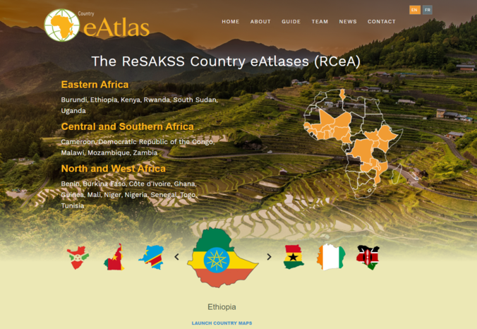
An initial set of 21 national eAtlases have been developed and will be managed by the Strategic Analysis and Knowledge Support System (SAKSS) platforms in countries where they have been set up or will soon be set up. ReSAKSS is working with the local SAKSS platforms to train CAADP stakeholders on how to access and use their eAtlas as a guide to improve agricultural policies and to target and prioritize investments.